
Alaska Highway multi-use trail improvements
Happy Cities worked with Momentum Transport and the Yukon Government to develop a trail plan that provides a safe route along the Alaska Highway for all ages and abilities.

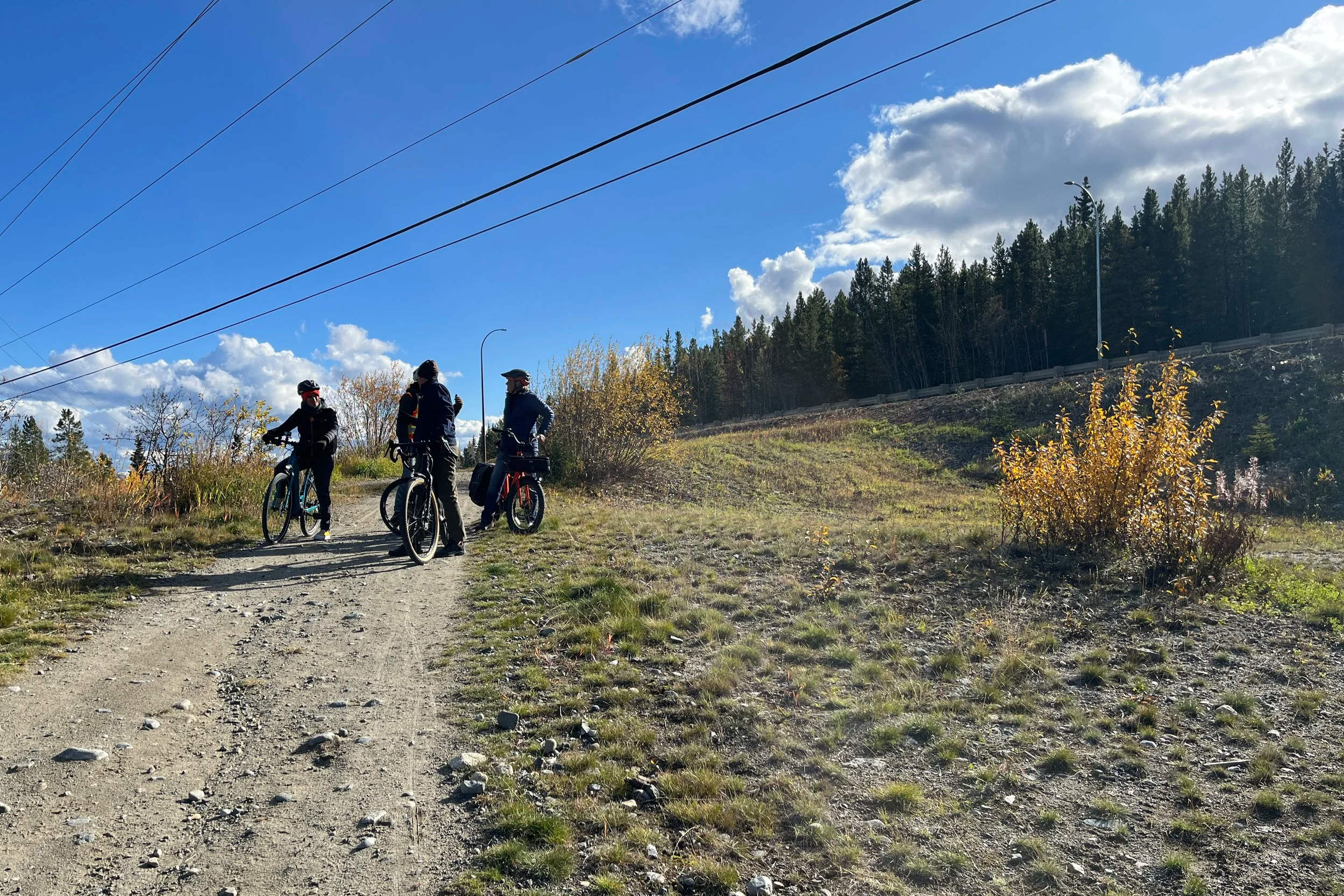
Cyclists riding along the Alaska Highway Trail. (Happy Cities)
Active along the Whitehorse Highway Trail
The Government of Yukon is working to expand the trail along the Alaska Highway in Whitehorse to provide better options to get around—whether by foot, bike, wheelchair, kicksled, or snowmobile. The new trail will help to:
Provide safer trail routes to people of all ages and abilities
Connect Whitehorse residents with the existing trail network
Improve options for trail users to cross the highway
Adopted in July 2025, the new plan will guide 30 kilometres of trail along the east side of the Alaska Highway in Whitehorse (from Carcross Cutoff to the North Klondike intersection).

The proposed trail. The trail was divided into five segments to consider site specific opportunities. (Momentum Transport)
Engaging with the Whitehorse community
Happy Cities led two rounds of engagement to hear from over 1,200 community members in Whitehorse, including people who use the trails for both recreation and commuting.
The first phase of engagement in winter 2024 included a survey and series of workshops to hear which aspects of the trail are most important to community members and active transportation advocates.
The engagement support report shared the results of these activities. This report helped to inform the review of existing trail conditions (available in the project background report) and inform the draft trail plan.
The second phase of engagement, which took place May 2024, presented sections of the draft trail plan from Carcross Cutoff to the North Klondike Highway for feedback. The phase 2 engagement support report shared the results of these activities.
The final Alaska Highway Multi-Use Trail Plan is available to download here.
Benefits of the expanded trail
The trail that currently runs parallel to the Alaska Highway only includes a few short and disconnected segments. (Happy Cities)

Trails in Whitehorse see year round use regardless of the weather, accommodating a variety of activity. (Happy Cities)
Once implemented, the new trail will contribute to a well-connected active transportation network in Whitehorse, supporting year-round use for activities like walking, biking, and skiing. As part of this work, we also considered options for accommodating recreational vehicles like snowmobiles and ATVs.
The new trail plan will:
Design safe and comfortable trails for all ages and abilities with a buffer from the highway.
Improve connections between neighbourhoods.
Identify locations for safe highway crossings, such as overpasses and underpasses.
Integrate with existing trails.
Consider integration with the City of Whitehorse’s future trail network expansion and urban development.
Outline strategies and costs for the trail’s implementation.
Accommodate active transportation users and off-highway recreation vehicles.
Promote safe interactions between all trail users.
Recommend trail sections for winter maintenance in alignment with the city’s Snow and Ice Policy.
Promote active transportation to reduce traffic congestion, improve air quality, boost regional tourism, and support public health through physical activity.